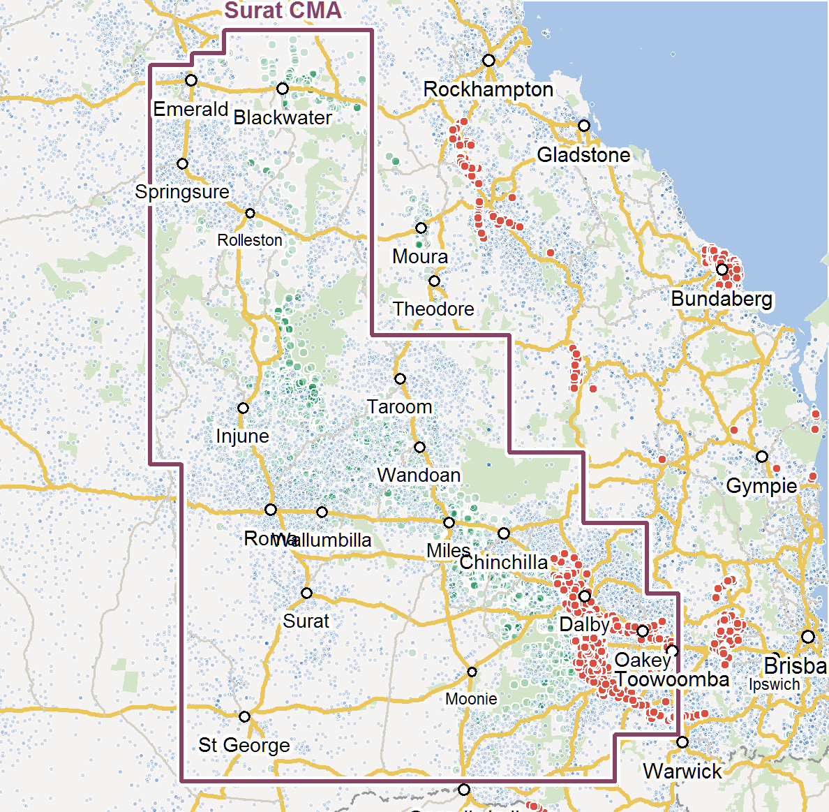
Groundwater use in the Surat and Bowen Basins
This research project investigates improved groundwater modelling to create greater certainty regarding the groundwater impacts of the CSG industry and improve planning of minimisation and mitigation strategies.
CSG companies and the Queensland Government collect data about the volumes of various types of groundwater use. This data helps estimate groundwater extraction volumes used in groundwater models which inform decisions regarding the management of the industry and plan water allocations. For example, the Queensland Government model is used to identify which private water bores are likely to have declining groundwater levels as a result of CSG industry activities and compensation for water loss is negotiated between the companies and landholders.
However most groundwater extraction bores are not metered and accurately estimating the amount of groundwater actually used is very difficult. This leads to uncertainty in groundwater model predictions. Where measurements are taken this is known as ‘metered usage data’ and it is reported to the Queensland Government.
This project explored the use of innovative statistical methods to use readily available data that may relate to groundwater use activities. This data could for example, include information about land use type, stock type, dwelling density, vegetation cover, climate and other parameters. The project selected geospatial data (data that incorporates information about the geographic location of the item recorded and the time the data was recorded), so that the analysis could identify changes in the data across locations and over periods of time. Predictions of water use was tested against locations where metered usage data exist.
The project evaluated the suitability of a wide range of public data to determine if there is enough relevant data to allow researchers to use different statistical techniques and obtain a useful level of analysis. If enough data are available, the researchers will develop and trial new techniques for estimating current groundwater use in the Surat and Bowen Basins and evaluate their potential to improve groundwater modelling outcomes. Improved groundwater modelling would create greater certainty regarding the groundwater impacts of the CSG industry and improve planning of minimisation and mitigation strategies. Improved model predictions will also help plan the best locations to install monitoring wells.
The feasibility study identified suitable datasets and some promising data processing techniques for improving groundwater estimation. Phase 2 of the project was amended in consultation with data experts from industry and government and is approved. In phase 2 the research team incorporated new data from additional sources. The team also investigated the development of sub-models that focus on areas of with different usage patterns or unique physical characteristics that affect groundwater use. The team also investigated the feasibility of installing additional water meters to collect new usage data in key areas.
The meters remain in place and data collection is continuing via a PhD project.
Resources:
Conference presentations:
- Keir G (2015) Estimating groundwater use in Queensland's coal seam gas basins, UQ Water Forum August 2015
- Keir G, Bulovic N, Callow I, McIntyre N, Costa F, Underschultz J (2015) Estimating unmetered groundwater abstraction in Queensland's coal seam gas basins, Australian Groundwater Conference 2015
- Keir G, Bulovic N, McIntyre N, Costa F (2015) Understanding and predicting changing use of groundwater with climate and other uncertainties: A Bayesian approach, AGU meeting December 2015
- Keir G, Bulovic N, McIntyre N (2016) Spatiotemporal modelling of groundwater extraction in semi-arid central Queensland, EGU meeting April 2016
|
